
Always meaning to carve an "express route" into the forest lying east of upper St. Mary's Ave., Andre began scouting for possible routes through the thick, bushy scrub below the area of the St. Mary's connector trail.
This relatively short stretch proved to be the most time consuming of what would eventually become a many-kilometer long mountain traverse.
The rewards proved to be sweet, however, and a further extension was planned. Over the course of the winter of 2002 / 2003, Andre threw himself into the hard, heavy labour of extending the trail above the St. Mary's connector, beyond the powerlines and uphill through a patch of green forest (while the surrounding area is notoriously brown) towards the aluminum bridge on the Baden Powell.

WHERE??
The trail bypasses St.Mary's Rd, creating a lower entrance to the forest and connecting Braemar Place (between St. Andrew's & Regent) to the St. Mary's connector trail.
The Dreamweaver crosses the St. Mary's connector trail, jogs up to the powerlines close to the Alexander's big red house and cuts an almost straight path through lush green forest in the direction of the aluminum bridge over Abelard Canyon on the Baden Powell trail. The main Dreamweaver jogs left (west) about half-way between the powerlines and the bridge, travelling straight uphill for a while before beginning its westward journey along the mountainside.
It crosses many well-used trails such as Groovyula (sp?), the St. Georges, the Baden Powell, Lower Bitches Brew and Executioner. This easy and scenic trail is gaining popularity with local hikers and mtn. bikers on a cross-country circuit, and has been called one of the most picturesque trails on the North Shore by well-seasoned outdoors-folk.

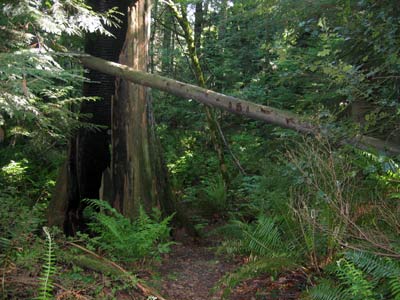
This is the stretch built during the winter of 2002 / 2004 that leaves the St. Mary's connector just past the Alexander's big red house, jogs up to the powerline and tunnels into the thick forest opposite. Once inside, the forest opens up and the trail takes you up through a refreshing patch of green forest. Most of the surrounding forest remains brown and dead-looking from the heavy logging decades ago, but Andre scouted specifically for scenic stretches heavy with green.


The third extension began to evolve early in 2003. Having scouted numerous routes to Mosquito Creek Canyon over the years, Andre decided to extend his trail into a long mountain traverse with the ultimate end being at the bottom of the cut on Grouse Mtn.
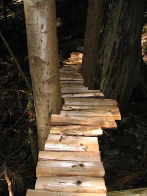
There are two main bridges in the first section of the third extension, and one long, tall one next to Mosquito Creek Canyon. Somewhere around this time our most excellent friend, Ian, became interested in the trail work and joined Andre in the construction of these bridges. Ian brings with him the impressive qualification of being a professional rigger, and together they masterfully constructed sturdy, artistic bridges that give the fairy-tale fell to the trail. Elves must be lurking just around the bend...


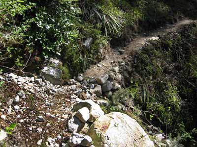
Andre tied the Dreamweaver into an existing section of nearly-forgotten about trail (ancient logging track) just west of Executioner. Much work was needed on this stretch, and he and Ian were quite thankful for my 2003 birthday gift to Andre; a very small 'Stiehl' chainsaw.


The trailbuilder stands in "the gateway" to the canyon
High above Mosquito Creek, a deep canyon slices through the forest. Too tricky to run a route down it and up the other side, Andre scouted for a chance log that may have falled across. With great forturne he not only found a log, but one with massive girth and stability. It stretches 70 feet across the gorge and is about 20 feet tall at its mid-point. Doesn't sound too high until you're standing on it!
Immensley proud of his find, together with Ian the two set about axing and grading a flat surface onto the rotund beast. Not an easy task, made only harder by the deep winter cold, sleet, snow and short days. Much of the work involved in fine-tuning this crossing was completed after dark and in the snow during January 2004.
Ian contributed a 100-foot long cable which was strung across, and anchored as a means of a railing for the crossing.
A tree-mendous (ha ha) fortress of roots met any traveller crossing the bridge at the opposite side, so a "re-direct" bridge over the last part of the canyon had to be constructed. The two photos below show the completed cable bridge and the re-direct bridge in construction.


Andre phoned me from Ian's cell while swaying in the branches of this tree - at 7:30 on a January evening in the wind and heavy sleet!
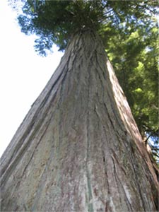
Right: A giant looms in the spring sunshine.


